 |
| Hmm...which trail to try next? |
This summer, at 3 1/2 years old, Toddler X can handle (and enjoy!) hikes of 1-2 miles on his own, and we've discovered several that are relatively level, not too rocky, and offer either an easy out-and-back or a loop of a manageable distance. A strong and energetic older toddler can walk these on his or her own, but they're also great with an all-terrain stroller -- we bring ours along on anything approaching 2 miles, just in case.
 |
| The BOB: Our hiking companion for 3 years now, and high on the list of things we couldn't live without. |
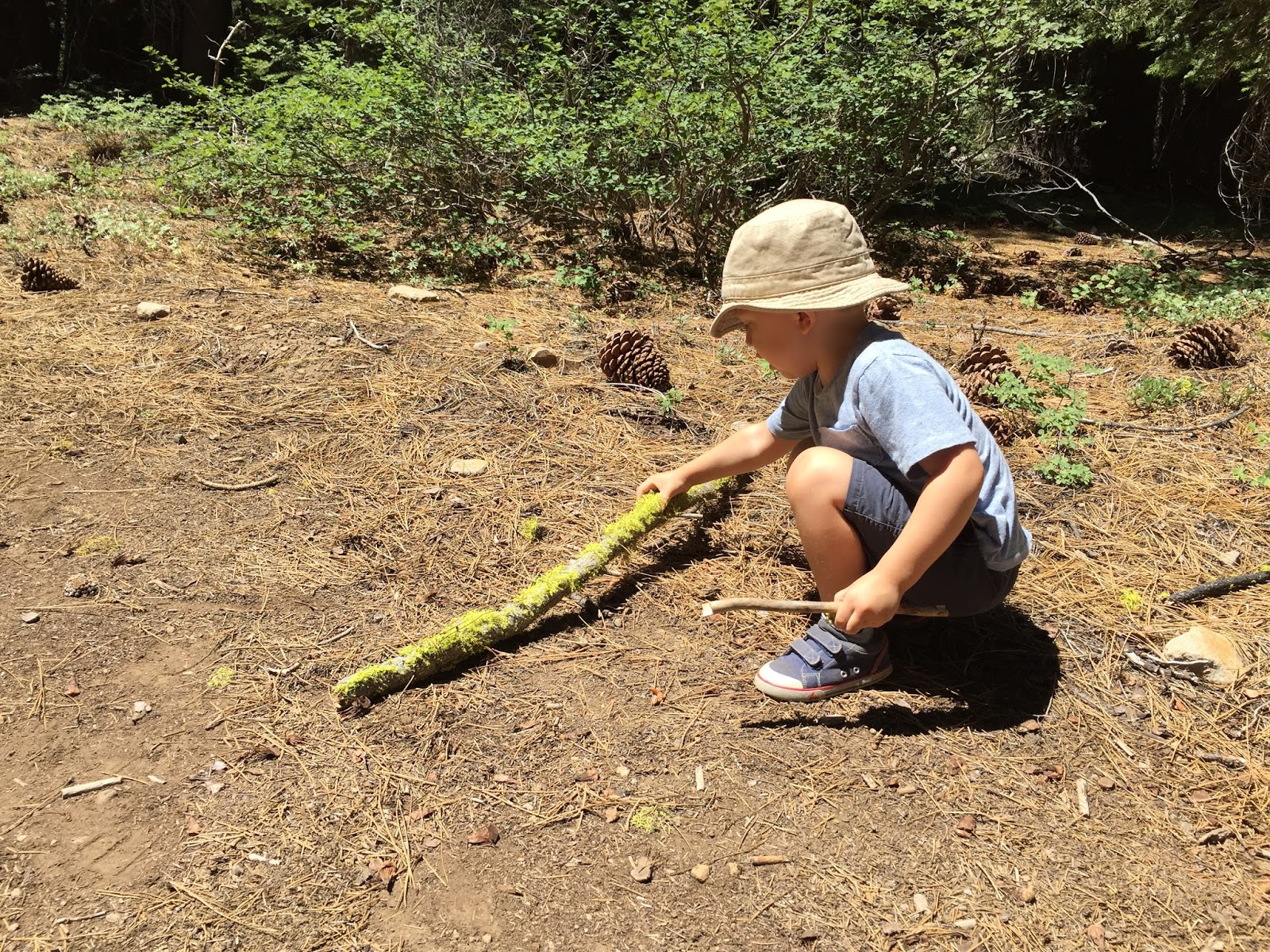
Note that we treat the outings described below as more of meandering nature walks than hard-charging hikes, with plenty of stops to examine sticks, stack rocks, poke things in holes, and balance on downed tree trunks. Most of these destinations do offer longer or more strenuous routes if you're seeking a workout, and a carrier or a BOB-like stroller would work for those. But this post is really directed toward hikes that toddlers can participate in on foot, with perhaps a stroller or carrier as backup. If you're just seeking outdoor time and energy burning for your little one (as we are), then I suggest you pack some water, a camera and your patience, and just let him or her lead the way.
Here are five of our favorites:

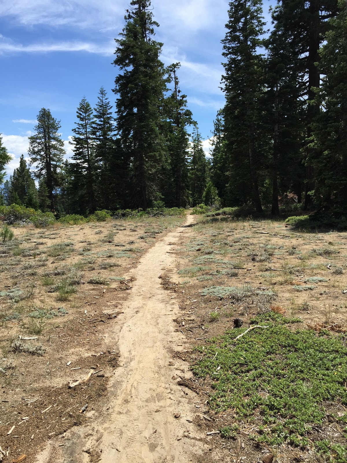
1. Sugar Pine Point State Park, Tahoma (West Shore).
We happened upon this park for the first time in July, when our first and second choice destinations for the day (Emerald Bay and D.L. Bliss State Park) were completely full by 10:30 a.m. Boy, what luck! I don't know how many times I've driven by Sugar Pine Point without looking twice, but never again -- it has now become one of our family's favorite West Shore destinations, with a lovely beach (which I'll cover in a separate post), fun trails, and very light crowds, even on days when surrounding parks are packed.
Most of the park (including the campground) is located on the west side of Highway 89 (across from the lake), but there's a small (relative to the huge park) portion along the shoreline, and that's where we went. You can try to find street parking and walk in, but with a toddler, we felt more comfortable paying the $10 fee to park in the main lot near the buildings of the large family estate that used to occupy the area, a couple hundred yards from the beach. There are plenty of clean bathrooms available there, as well as a little gift shop that sells drinks, ice cream bars and snacks.
 |
| A popsicle from the gift shop is a perfect reward for a tough little hiker. |

The Rod Beaudry Trail starts out paved, but after passing over a wooden bridge, you quickly take a right turn onto the Dolder Nature Trail, which is packed dirt. For the most part, the trails aren't marked with names, but with colored dots on trees (I believe the ones we followed were yellow, then orange) -- if you're searching for trail names, it can be confusing at first.

After a short distance on the Dolder Nature Trail, you'll see the lake ahead of you -- you can veer off to the right there to take a break on the sandy beach, or you can go to the left to finish the trail loop. (We did a beach break, then returned for the rest of the loop.)

Ground surfaces alternate between dirt, packed pine needles and sandy soil, with some rocks and tree roots on the far edge of the Nature Trail. There is a mix of sun and shade -- it's a great trail even on a warm and sunny day. A sport utility stroller would do fine, but I wouldn't bring something more lightweight.
Oh, and if you see references to the world's highest lighthouse, don't get too excited. It's basically a metal tower with a light on top, highest by elevation, not by actual height. Don't waste your time seeking it out.
Overall, this is a fun, easy and visually interesting trek through an all-around great park/beach. I definitely recommend checking it out.
Again, note that there is $10 parking fee for the main lot.

2. The Tahoe Rim Trail (Tahoe City towards Barker Pass).
The Tahoe Rim Trail definitely sounds a bit intimidating to a family with young kids -- it's a 165 mile loop around the lake, with climbs up to 8,000 foot peaks -- but fortunately it has many trailheads along the way, and some of them offer great options for short, out-and-back toddler hikes.

Our favorite begins in Tahoe City at the 64 Acres parking lot. To get there, take Highway 89 south from Tahoe City's big "Y" intersection (heading down the West Shore of the lake), and after 100 yards or so, turn right at the signs for the Tahoe City Transit Center/River Access. Park at the raft launch area (where you'll find portable toilets and picnic tables) -- there's no fee. Follow the paved bike path away from the city, staying on the south side of the Truckee River (do not cross over the bridge to the side bordering Highway 89).
 |
| Enjoy a picnic at the tables near the parking lot before heading out. |

There are some gorgeous wildflowers blooming right now, stumps to climb on, and walking sticks galore.


Even better, the trail stays close to the Truckee River, allowing for fun beach and water play diversions -- there are TONS of rocks for throwing, and since the water is barely flowing right now, there are plenty of spots for safe wading.

The trail is easy for an older toddler on foot and very doable with a BOB (which the 5 month old was in). Ground surface is packed dirt, inclines are minor, and there is partial shade, making it a great hike even on a warm and sunny day.

While the Tahoe Rim Trail does start to climb in elevation (at some point beyond where we turned back -- no way we were heading to any summits with a toddler on foot), if you plan it as an out-and-back hike, you can obviously just do whatever length is right for your family.
After the hike, it's an easy stroll into downtown Tahoe City, with many restaurants offering tasty lunch options.
 |
| A map of the Eagle Rock trails -- with a toddler, stick to the perimeter. |
As you drive down Highway 89 on the West Shore, heading south from Tahoe City, it's tough to miss Eagle Rock up ahead on your right -- it's a massive volcanic outcropping that juts out right above the road. There's a popular trail to the top of the rock, but with no railings up there and a loooong way down, it doesn't strike me as a great place for toddlers to run around. The trailhead on Highway 89 at Blackwood Creek, however, leads to other trail options as well, including some that are great for nature walks with your toddler.
 |
| Keep an eye out for this sign... |
 |
| ...and this gate, which can be found at the parking area. |


The Blackwood Creek trail (I'm not sure what it's technically called, but I'm going with that because it traces the creek at the beginning) starts behind a gate (above) and is lined on both sides by downed tree trunks that are perfect for some toddler balancing practice. After a while, the trunks end, but the trail continues into the woods. With very limited elevation gains, easy terrain (trail is packed dirt -- no rocky obstacles), and partial shade, it's a great stroll with a little one.


We did an out-and-back of about 3/4 mile each way, and it was perfect for Toddler X -- though it took us forever because he was constantly finding things to explore, and I was doing my best to let him. We branched left at the two main forks, which eventually led us to a narrowing trail down near the creek -- we turned around when the trail became so narrow that it was uncomfortable (and kind of scary -- who knows what kind of animals were hanging out in those reeds?).
Judging by the map (which, sadly, we didn't discover until after our hike), a better option may be to set out on the path along Blackwood Creek (as we did), but instead of bearing left where the trail splits at the storage shed, bear right. At the next path intersection, turn right again and continue around the base of Eagle Rock (not taking the turnoff for the peak) until you return to the trailhead. We'll plan to try that route out next summer, and I'll update the post then.

4. Glacier Meadows Trail (Donner Pass Rest Stop, Truckee)
Like Sugar Pine Point, the Donner Pass Rest Stop is one of those places that we'd driven by time and time again, but at which we'd never stopped. Given that our usual Tahoe destinations are Northstar or Tahoe City, passing the rest stop usually means that we are 1/2 hour or less from arrival, and after a long drive it's natural to just want to push on through. On our most recent trip, however, with a West Shore destination in mind (so perhaps 45 minutes left of driving to do) and a toddler bladder in the car, we decided to pull over at this stop (located just past Boreal as you drive east on I-80) -- and boy, what luck!

After using the clean, renovated bathrooms, we decided to find somewhere for Toddler X to stretch his legs a bit, and were delighted to discover the Glacier Meadows Trail, which starts just below the parking lot. It's a very short (I think 1/2 mile) loop across some really cool, varied topography, with occasional sign posts giving information about how the area was formed from a geological standpoint.

I have to admit that we didn't actually complete the trail, as Toddler X and Mr. X were distracted by the huge trail-side boulders that just begged to be climbed. We spent 45 minutes letting Toddler X romp around on the big rocks, scale fallen trees, poke things with sticks, and run along the path, and it was just what we needed to get him tired out and calm for our remaining drive.


To get there, coming from the Bay Area, take the rest stop exit immediately after Boreal ski area on I-80 East; park in the main lot, and you'll see a sign indicating the starting point for the trail. While the big boulder field is pretty sunny, there's plentiful shade along the trail. I wouldn't recommend a stroller because of the rocky terrain, but at only 1/2 mile long, even a younger toddler can probably manage this trail on foot.
5. Martis Valley Trails/Tompkins Memorial Trail (Truckee/Northstar)
This would be one of my favorite hikes with Toddler X, if I could ever actually get him on the trail. Two summers in a row, hitting Martis Valley's trail system has been on my to-do list. We've come close, visiting two playgrounds just down the street (Katie's Playground at the Truckee Airport, and Truckee Regional Park a few miles away), but for some reason, the hiking part has never come together.
Nonetheless, I feel comfortable recommending this set of trails to you, as I've hiked/walked the dogs/jogged on them many times in my life, including back in my own toddler years. The valley portions of the trail system are flat as can be and great for toddlers to run on -- there are fun boardwalk areas and several bridges over Martis Creek (and boy, do toddlers love bridges!). The hill portions of the trail system (parts of the Tomkins Memorial Trail, which connects up with the streets of Northstar) can get intense at points (I've gotten some serious workouts on those), but the base of the hills, on the edge of the valley, offers some delightful shade, a pleasant creek area where we've often brought our dogs to play, and great spots for exploring the woods a bit.
The best place to park to access these trails is the small parking area on the righthand (south, I think) side of Highway 267 (as you head from Truckee towards Northstar and the lake) -- just as you enter the valley (past the airport), you'll see the dirt lot ahead on your right. There isn't a ton of parking in there, and you might be forced to double back and park on the opposite side of the road (which would entail a Highway 267 crossing -- not a huge problem since it's just two lanes, but still not desirable with kids), but we frequently have luck in the lot.
The trails you want to check out are on that south side of 267 -- the side bordered by the mountains and Northstar's ski runs. The trails spread out all over the valley floor, from the nice housing development to your right (looking at the valley from Highway 267) to the Northstar golf course to your left. You can find fun any direction you go, but I prefer to head over to the right, away from the golf course, where there are several bridges over the creek (which usually flows throughout the summer due to snow melt, but I can't give any guarantees in this drought) and flat trails for toddler running. If you stay to the right and head back toward the hills, you'll find a great creek exploration spot in the shade right at the base of the mountain. We've spent hours here with our dogs, though, as I said above, I have yet to make it here with Toddler X.
Overall, Martis Valley's trails provide a great, flat spot for a self-propelled toddler hike. An all-terrain stroller could handle the path (though some sections are narrow), but I wouldn't bring a basic stroller. The biggest downside of the valley floor is the almost total lack of shade -- this option is best in shoulder seasons (spring and fall), in the morning or evening (though not too early or late -- we've seen coyotes in this area), or on a cloudy day. Shade can be found once you reach the mountains on the far side of the valley, but there the trails start to gain elevation quickly, so bring a stroller or carrier if you want to tackle those (and get an actual workout).
Because of the relatively open terrain on the valley floor (there are high grasses at spots, but no trees), which offers good visibility, and the fact that the trails are heavily populated, this is the one spot listed where I'd probably feel comfortable taking Toddler X alone. Everyone has their own level of comfort on solo (with toddler) hikes, and obviously I'm not guaranteeing safety, but this is the one I'd most likely tackle with just my toddler and me.
One last note: Martis Valley's trails are a very popular spot for Truckee dog owners to take their dogs for off-leash walks. Although every single dog we've met out there has been friendly, you probably don't want to let your toddler run far ahead of you if you can't see beyond trail curves -- any pup could get startled coming 'round a corner and encountering a little 3 foot high human. If you or your kids aren't huge fans of dogs, this may be a trail to avoid.
------------------------------
I hope you enjoy this list of good hikes and nature walks for toddlers and preschoolers who want to get out there and do it themselves. If you've found other trails that your family enjoys, and that a steady toddler could hike on foot, I'd love to add them to the list!
Happy toddling!
For information on North and West Shore playgrounds, check out my reviews here.
If you enjoyed this post and do any of your shopping online, please consider doing so through my affiliate link -- it helps me out at no additional cost to you. Many thanks!!


0 komentar:
Posting Komentar